Student handout
Where the Earth Leaks Heat
What can the surface of the land tell us about the energy beneath it, and what should we do with what we find?
Print this handout
The photographs
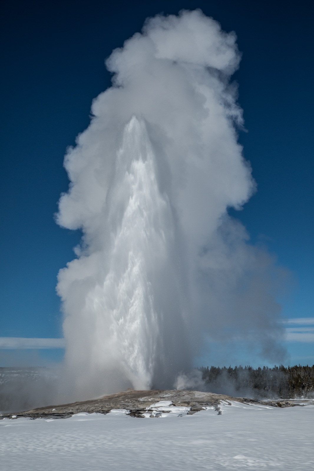
Photograph 1 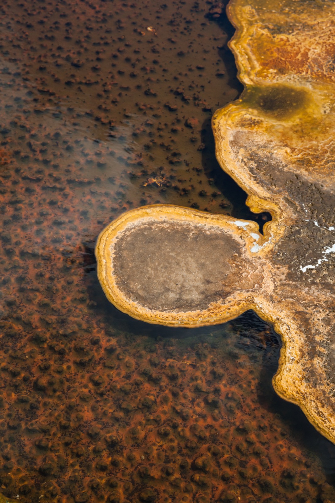
Photograph 2 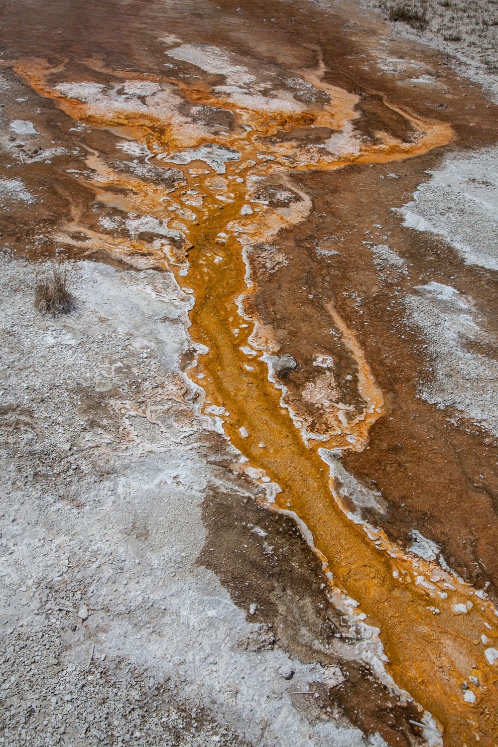
Photograph 3 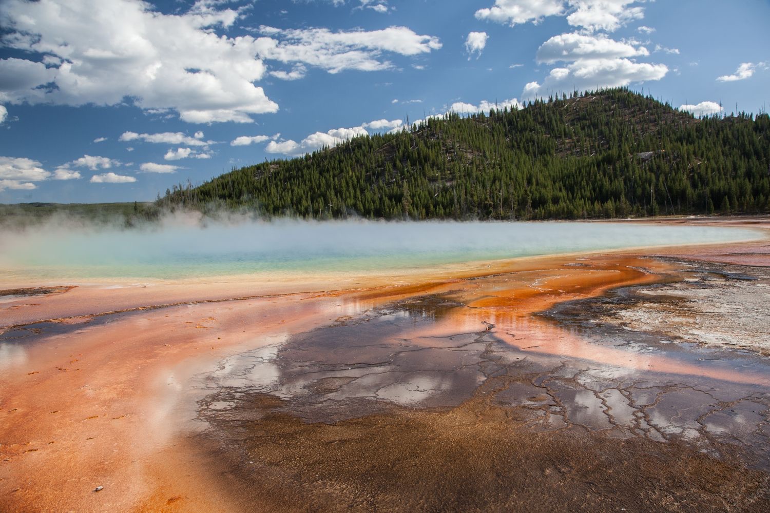
Photograph 4 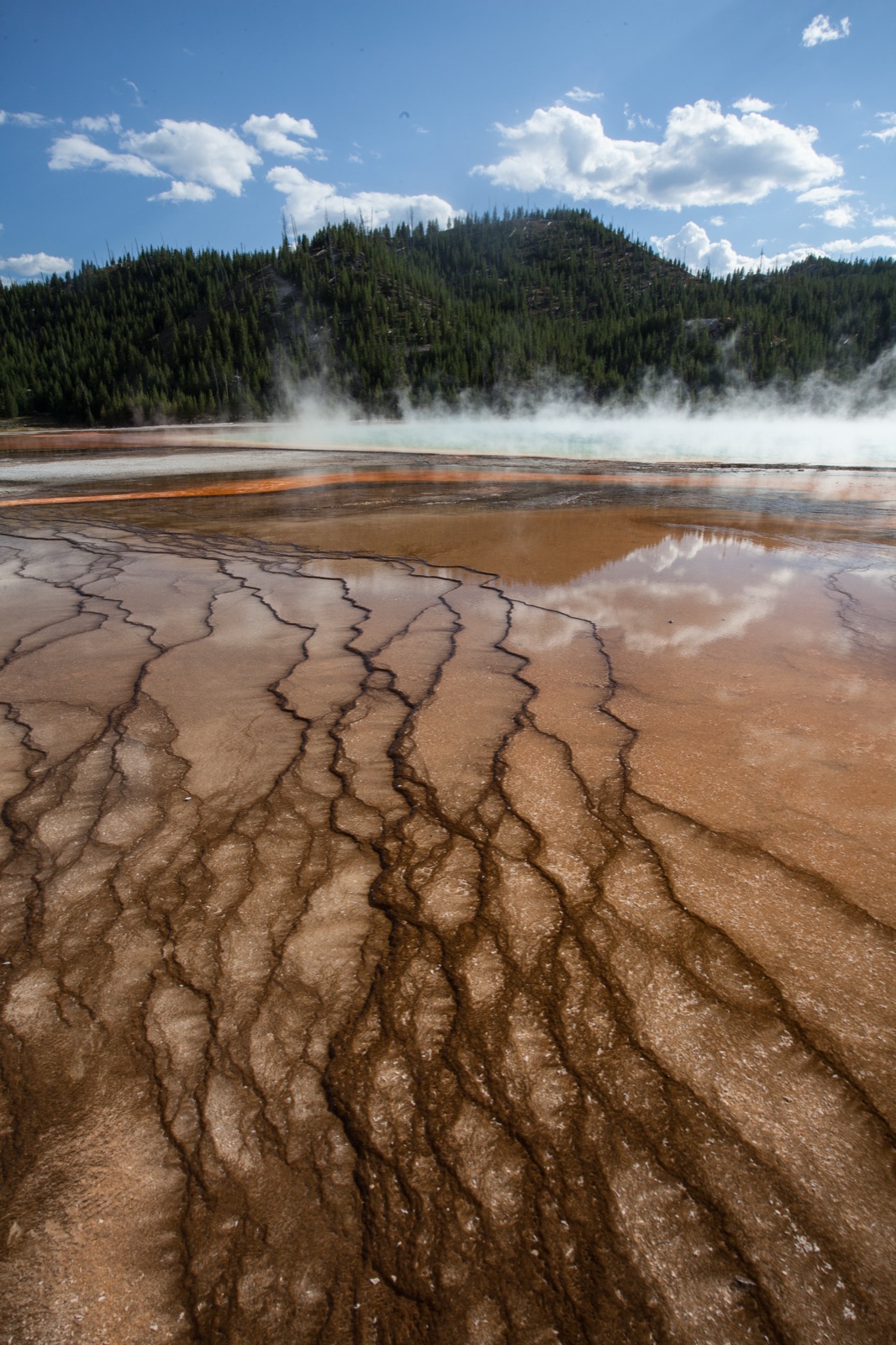
Photograph 5 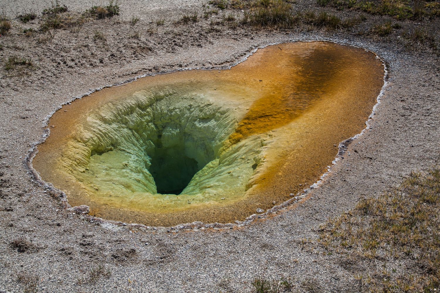
Photograph 6 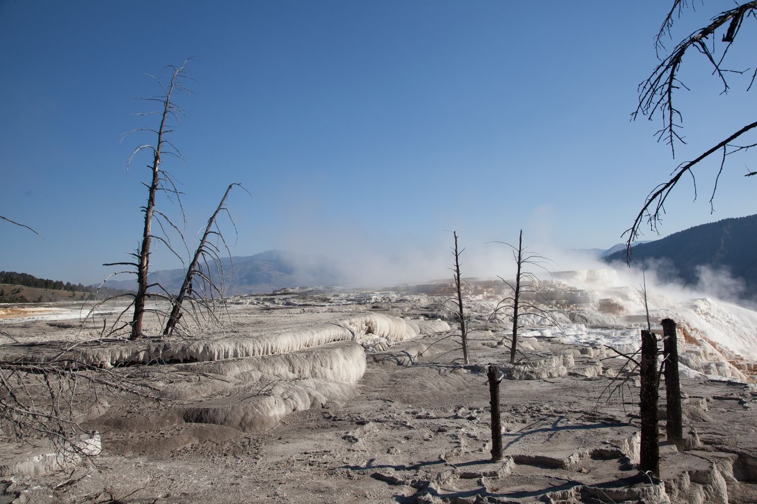
Photograph 7
01. Setting the stage
You already know what the tall white column is. Look at the ground instead. One part of it is not doing what the rest of the ground is doing — find it, and tell me why.
02. Engaging with the story
Keep a running list of every material you can identify. Not what you think is happening. Just the stuff: rock, water, vapor, deposits, color, anything alive, anything built by people.
03. Working the evidence
Observe (5 minutes). Record only what is visible. No explanations yet.
- What do you notice first?
- What materials, textures and colors can you see?
- How is the scene arranged? What is near, what is far?
- Look again for a full silent minute. What did you miss?
Reflect (6 minutes). Now generate and test explanations.
- What do you think is happening here?
- What would have to be true underground for this to appear at the surface?
- The orange runs down the middle and fades outward. What could make a color do that?
- Compare photograph 3 with photograph 6. Same basin, twenty minutes apart. Why do they look so different?
- What is missing from these images?
Question (4 minutes).
- What do you wonder about: who, what, when, where, why, how?
- Standing there with any instrument you wanted, what would you measure first?
04. Delving deeper
Read all three tables before you answer anything.
| Plant type | Reservoir temperature required | How it works | Where it stands in the US |
|---|---|---|---|
| Dry steam | About 400°F to 650°F (204°C to 343°C) | Steam from the reservoir turns the turbine directly | Known at only two US locations: The Geysers in California and Yellowstone. Only The Geysers operates. |
| Flash steam | About 400°F to 650°F, with water above roughly 360°F | Pressurized hot water flashes to steam as it rises. The steam drives the turbine. | The most common existing type in the US. |
| Binary cycle | About 200°F to 330°F (93°C to 166°C) | Geothermal water heats a second fluid with a lower boiling point. That fluid drives the turbine. | Nearly 90 percent of the 735 MW of US capacity built since 2000. |
| Measure | Value |
|---|---|
| Total generation | About 16 billion kilowatt-hours |
| Share of US utility-scale electricity | About 0.4 percent |
| States with geothermal plants | 7 |
| California | About 69 percent of US geothermal generation |
| Nevada | About 25 percent |
| Utah | About 3 percent |
| Year | Law | What it does |
|---|---|---|
| 1970 | Geothermal Steam Act | No geothermal leasing inside national parks |
| 1988 | Geothermal Steam Act Amendments | Blocks leasing in the Island Park area outside Yellowstone, and requires protection of designated “significant thermal features” in 16 park units |
| Ongoing | BLM regulations, 43 CFR 3200 | No leases where operations are likely to cause significant adverse effects to those features |
05. Reflecting and projecting
Part A. Read the evidence. Based on the photographs alone, what can you conclude about the heat and water beneath this place, and what can you not conclude?
Part B. Make the call. A member of Congress proposes opening a portion of the land just outside Yellowstone to geothermal leasing. Should it happen?
- Your claim. State your position in one or two sentences.
- Your evidence. At least two specific observations from the photographs, plus one item from Tables 1, 2 or 3. Name the source of each.
- Your reasoning. Explain the scientific and practical principles that connect your evidence to your claim.
Students may submit as a written paragraph, a recorded verbal explanation, an annotated photograph, or a labeled diagram. All four are acceptable and the rubric applies equally.
06. Take action
Choose one.
- Your state’s heat. Does your state generate geothermal electricity? Where are its heat resources mapped? If it has none, find the nearest state that does and what makes it different.
- The Utah question. Companies in Utah are building enhanced geothermal projects that do not rely on natural hot springs at all. They drill into hot dry rock and create the fractures themselves. Research one. What problem does it solve, what are people worried about, and does it change your answer to question 6?
- What else is protected. Sixteen National Park Service units have designated significant thermal features. Find another one. What is protected there, and what would be lost if it were not?
07. The rebuttal
Your rebuttal. Someone reaches the opposite conclusion from the same evidence. State their position as fairly as you can, then explain why the evidence favors yours. If you think the evidence does not settle it, say so and explain what would.
Discussion questions
- What is the white and gray crust in photograph 3, and where did it come from?
- The steam is not smoke and nothing is burning. What is rising, and what made it change from liquid to gas?
- Why is the orange brightest in the middle of the channel and faded at the edges?
- Photograph 7 was taken twenty miles north of the geyser basins and looks completely different. The white there is calcium carbonate, not silica. What does that tell you about the rock underground in the two places?
- Binary cycle plants work at much lower temperatures than flash plants, and almost all new US plants are binary. Why would a company choose the design that produces less power per plant?
- Open question. Yellowstone is one of only two known dry steam resources in the country, and it is illegal to develop. Was that the right call?